ALPINE NATIONAL PARK
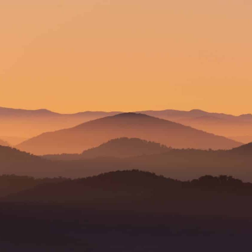
About 100-million years ago, the Great Dividing Range – the fifth longest mountain range in the world – began to push its way upwards along what is now the continent of Australia. Its highest reaches, snow-capped in winter, are delicately rare and mesmerisingly beautiful. Nowhere else in the world will you find dancing snow gums, the phenomenal bogong moth migration, the mountain pygmy possum – so tiny it fits in the palm of your hand – or wildflowers like the bogong daisy. Some of the range's highest mountains are now protected by the Alpine National Park, which at 646,000ha is the largest national park in Victoria.
ACKNOWLEDGEMENT OF COUNTRY
The sections of the Alpine National Park that fall within Bright & Surrounds are part of a cultural landscape that spans part of the Countries of the Taungurung and Gunaikurnai Peoples to its west and the Dhudhuroa, Waywurru and Yaitmathang to its east. We pay our respects to their Elders, past, present and emerging.
Bright & Surrounds respects the deep and continuing connection that Traditional Owners have to these lands and waters, and recognises their ongoing role in caring for Country.
THE PARK
Whether you're skiing or snowshoeing at Falls Creek in winter, or hiking ancient trails through wildflower meadows to historic huts in summer, a trip to the Alpine National Park near Mount Beauty is always rewarding.
Mount Bogong and the Bogong High Plains are two of the most popular sections of the national park. Both are found in true alpine territory above 1,800m elevation, with the summit of Mount Bogong – Victoria's highest mountain – reaching a lofty 1,986m.
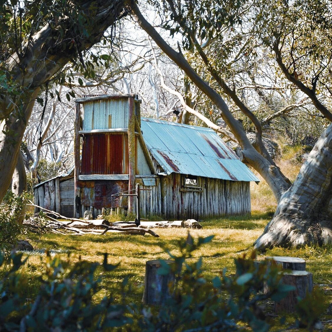
Many walking, horse riding, 4WD and mountain biking trails are concentrated on the Bogong High Plains near Falls Creek, including the short track to Wallace's Hut – the oldest surviving hut in the High Country.
PARK ACCESS
Vehicle access to the Alpine National Park from Mount Beauty is via the sealed Bogong High Plains Road. This takes you into the Bogong High Plains section of the National Park, up to Falls Creek and through to Omeo. Please note, in the snow season, entry fees apply to Falls Creek and the road between Falls Creek and Omeo is closed.
There are many hiking trails, historic huts, mountain bike trails, 4WD tracks, fishing spots and lookouts accessible from this road. Alternatively, those looking to summit Mount Bogong can enter the park from the valley floor from one of the walking trails off Mountain Creek Road, Tawonga.
CAMPING
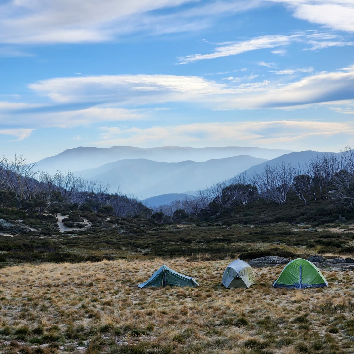
There are a number of campgrounds in the Alpine National Park that are accessible by vehicle and have drop toilets, picnic tables and fireplaces. On the Bogong High Plains east of Falls Creek you'll find designated camping areas at Bucketty Plain, Raspberry Hill and Langfords West, which includes a horse yard. Road access to these campgrounds is closed during the snow season when camping in alpine areas is not recommended for general campers.
Open all year is the Mountain Creek camping area at the foot of Mount Bogong in Tawonga. This site is also equipped with drop toilets and picnic tables. Designated tent sites are also available on selected hiking trails.
PREPARE FOR ANYTHING
From snow to bushfires, floods and gale-force winds, the weather in the High Country can be fierce and change rapidly. Always check conditions before venturing out, ensure your equipment is working and carry adequate food, water and warm clothing. Importantly, download the VicEmergency and the Emergency Plus apps to your phone.
Notify someone of your plans before you set out. Many parts of the High Country have poor or no mobile phone coverage. Emergency beacons and satellite devices are recommended for your safety.
LEAVE NO TRACE
Our region is sensitive to human presence. We are privileged to have endangered animals such as platypus, pygmy possums and alpine dingoes surviving in our environment. Your behaviour has impacts our flora and fauna. Always stay on formed roads and paths and don't cut new lines. Protect our wildlife and the beauty of our environment by taking all rubbish with you.
Never light a fire on a Total Fire Ban day. When permitted to use fire, always extinguish your campfire completely before you leave. Enjoy our outdoors, and remember, leave no trace.
HIKING MOUNT BOGONG
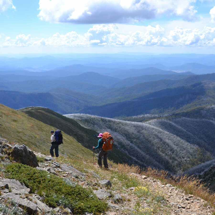
Victoria's highest mountain, Mount Bogong (1,986m) – Warkwoolowler in the Dhudhuroa language of the First Peoples of the valley – has two trails that lead to its glorious summit: The Staircase Spur and Eskdale Spur.
The high peaks are sacred to the First Peoples of North East Victoria and for thousands of years clans travelled here from far and wide to take part in ceremonies, arrange marriages, settle disputes and feast on the nutritious bogong moth. On Mount Bogong and surrounding peaks, only those who were invited could walk the sacred trails. Many of the walking trails in the High Country today follow these ancient pathways established by the Traditional Custodians.
The Mount Bogong hike is steep and strenuous with an exposed summit. It should only be hiked in good weather conditions and when snow isn't prevalent. Fit and experienced hikers can complete the return walk in a day, but it's also possible to camp part way at the Bivouac Hut, Cleve Cole Hut or Mitchell Hut sites and enjoy more time in the park.
MOUNT BOGONG LOOP
21km return | Difficult | Full day or overnight
The Staircase Spur and Eskdale Spur can be walked as a circuit starting from Mountain Creek Campground on Mountain Creek Road, Tawonga. It is recommended to walk up The Staircase as it is the steeper of the two trails, making the walk down Eskdale Spur mildly gentler on the knees.
STAIRCASE SPUR TRAIL
16km return | Difficult | Full day or overnight
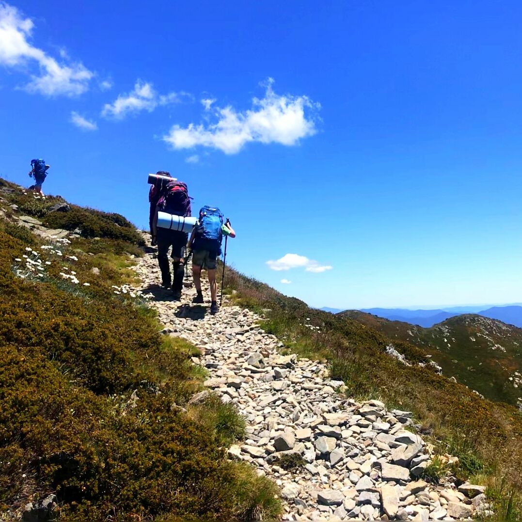
The Staircase is a steep, rough and difficult. The trail begins at the Mountain Creek Picnic Area and follows a vehicle track for 2km to the foot of Staircase Spur where the ascent begins through a forest of peppermint gums. Bivouac Hut, about halfway along the climb, offers emergency shelter before the track passes through snow gums and out onto the steep rocky ridge leading to the plateau with sensational views.
The exposed treeless summit offers no shelter in poor weather. Strong winds, fog, freezing temperatures, rain and snow are all common at this altitude. Navigation when visibility is poor is extremely difficult so turn back if conditions deteriorate.
ESKDALE SPUR TRAIL
22km return | Difficult | Full day or overnight
A rough, steep track with many obstacles.
Follow the track up Mountain Creek past the bottom of the Staircase Spur for approximately 5.5km to Camp Creek Gap. The track climbs steeply up the Eskdale Spur past Michell Hut to the tree line where the track intersects with the Granite Flat Track. Once the shelter of the snow gums is left behind the remainder of the walk is very similar to the exposed rocky ascent of the Staircase onto the summit plateau. Those with a 4WD can drive part of the way, reducing the track to 8km.
BOGONG HIGH PLAINS
The Bogong High Plains, which surround Falls Creek, is one of Australia's largest snow-covered areas in winter and its alpine and sub-alpine ecosystems are the most extensive in the country. Heathlands make up about half of the plains, while a quarter is grasslands. The remaining ecosystems comprise wetlands and some rare herb fields. The Bogong High Plains can be explored from the many hiking and cross-country ski trails that surround Falls Creek.
WALLACE'S HERITAGE TRAIL
Easy | 6km return
Wallace's Heritage Trail is an interpretive trail that explores the history of the Bogong High Plains. This easy, signposted walk starts at the Wallace Hut car park and follows a formed track over gentle hills with no steps. From the car park, walk the short distance to the historic Wallace Hut, built in 1889, then continue past the hut to the aqueduct. Cross the aqueduct and follow the track to the right, past the Rover Chalet and onto the Australian Alps Walking Track to Cope Hut. Follow the track from Cope Hut toward the Bogong High Plains Road and return to Wallace Hut along a spectacular section of track with fine views toward Mount Kosciuszko (2,228m), Australia’s highest mountain.
ROPER LOOKOUT
Easy | 5km return
The walk to Roper Lookout follows well-formed track with occasional steps and gentle hills. It starts at the eastern end of the Rocky Valley Storage Dam wall, 3km along the Bogong High Plains Road from Falls Creek. Follow the aqueduct for 1.5km before climbing a small gully of snow gum forest. Roper Lookout is a small basalt knoll with excellent views of Falls Creek Alpine Resort and the Bogong High Plains. Return along the same route.


